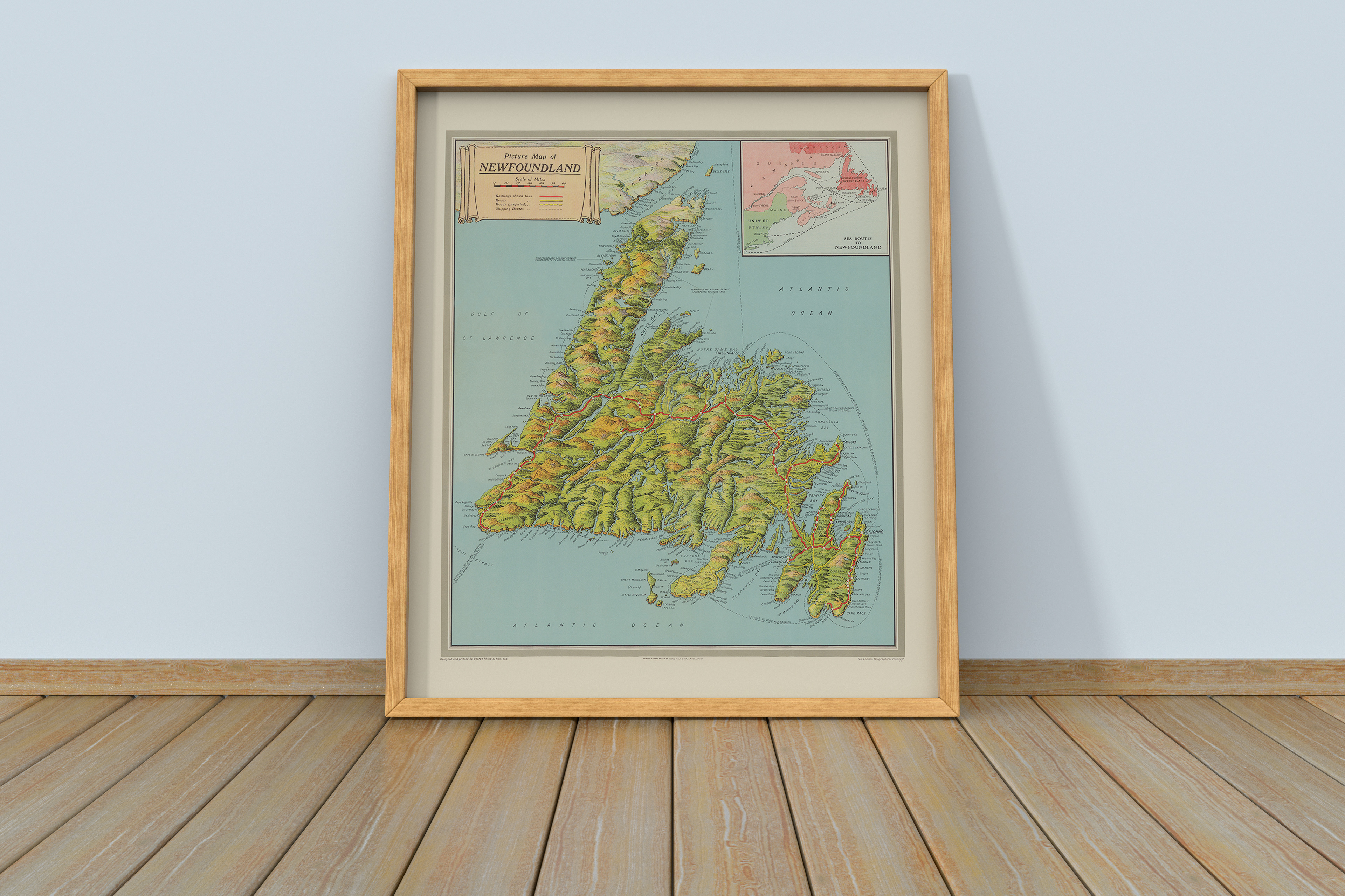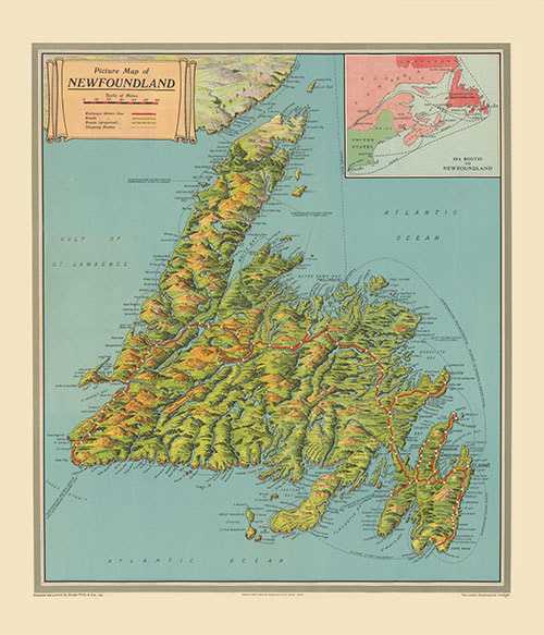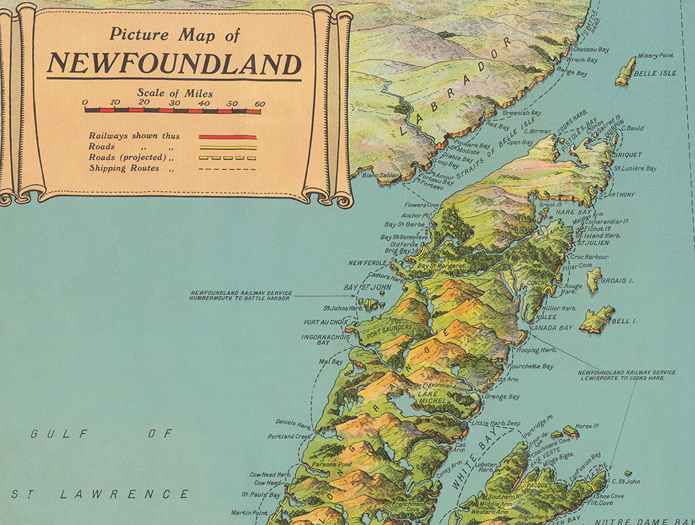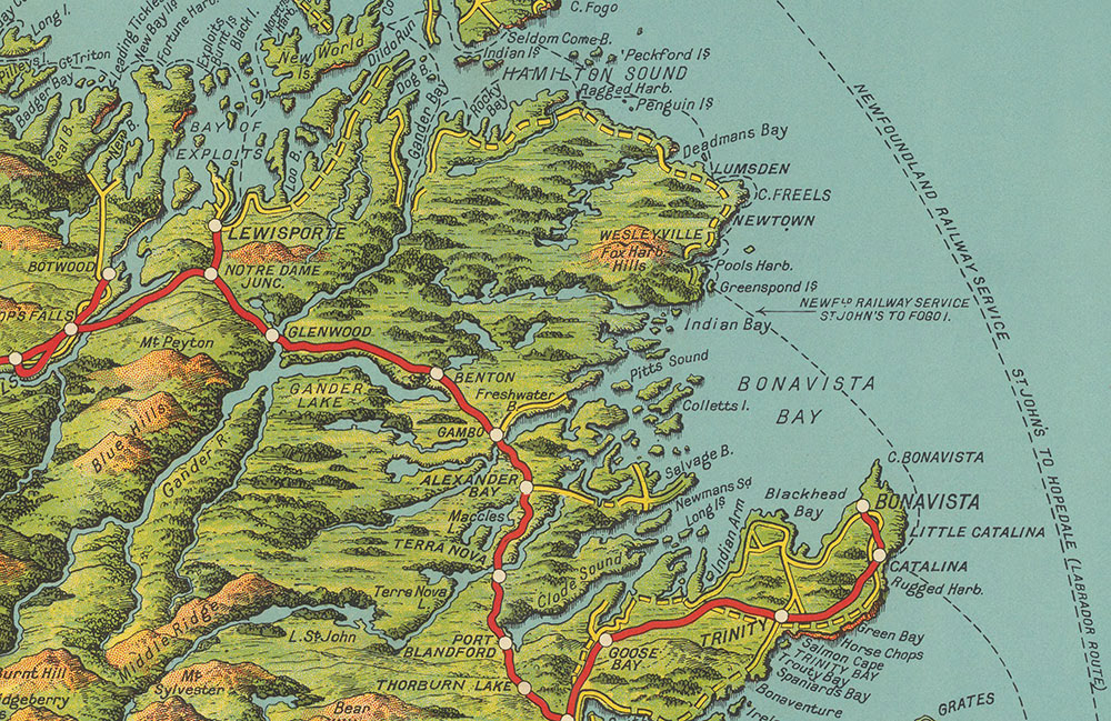
A fascinating map created by The London Geographical Institute shows the island of Newfoundland as it existing around 1930. The map shows the Newfoundland Railway, built in the late 1800s, which linked communities long before the Trans-Canada Highway was extended after joining Canada. Also shown are extensive sea routes linking many communities to each other by ship. Use the form here to enquire about purchasing a print or fully framed artwork.